Satlas

About Satlas
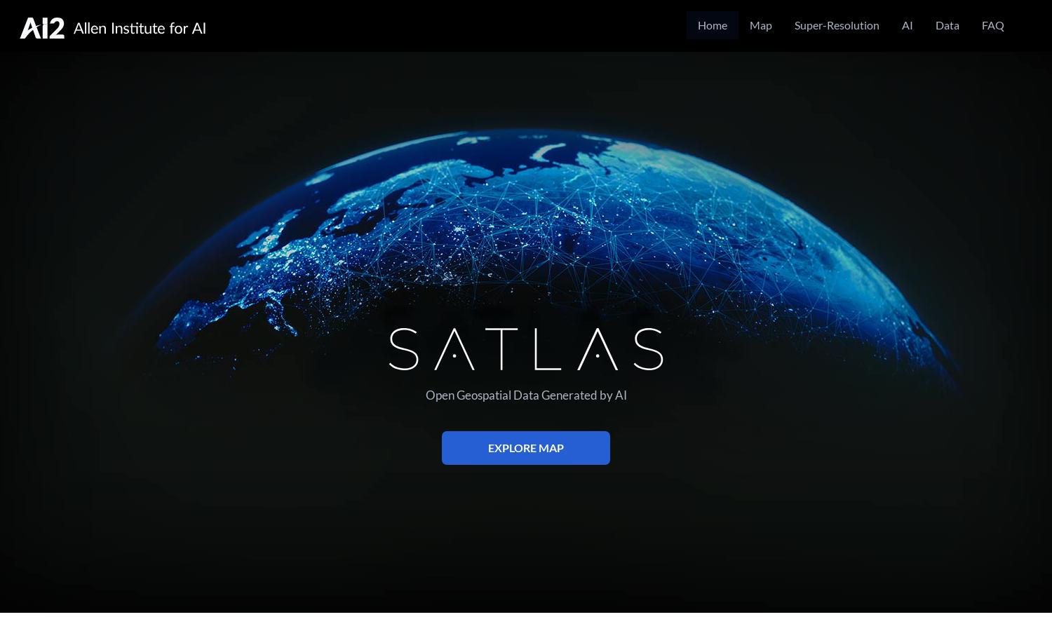
Satlas is a powerful web app for exploring the planet's changes through AI-annotated satellite imagery. Targeted towards researchers and environmentalists, it employs advanced AI models to analyze global transformations in infrastructure, deforestation, and renewable energy. Satlas provides valuable insights into real-time changes affecting the environment.
Satlas offers free access to geospatial data with options for downloads and offline analyses. While the platform primarily focuses on free data, users benefit from extensive datasets and AI models. Users who engage with the platform regularly can access updates and new data effortlessly.
The user interface of Satlas is designed for seamless exploration, featuring an intuitive layout that simplifies navigation through complex data sets. Users can effortlessly access high-resolution satellite images and AI-powered tools, creating a streamlined experience for understanding our planet's changes through visual data analysis.
How Satlas works
Users start by visiting Satlas, where they can easily navigate through its features, including the interactive map and data sets. After selecting areas of interest, users can explore AI-generated super-resolution images, analyze changes in specific regions, and download data for offline research, making the process user-friendly and informative.
Key Features for Satlas
AI-annotated satellite imagery
Satlas features AI-annotated satellite imagery, providing users with detailed insights into global environmental changes. This innovative functionality allows researchers and enthusiasts to access high-resolution images that reveal critical transformations, enhancing the understanding of climate impacts and infrastructure development.
Super-resolution technology
Satlas utilizes advanced super-resolution technology to enhance low-resolution satellite images, delivering clearer and more detailed visuals for analysis. This feature empowers users to examine geographical changes more effectively, making it easier to observe trends and patterns in our planet's infrastructure and environment.
Open geospatial data
Satlas provides open geospatial data that users can freely access and download for offline analysis. This feature fosters collaboration and research opportunities, allowing users to engage deeply with satellite imagery and leverage the information for various environmental and scientific studies.
You may also like:


